
A place reveals itself through the work people do there. For Gemini, the Asher corridor is a landscape of businesses, buildings, relationships, and the daily decisions that make ownership matter.
Before the city
grew around it.
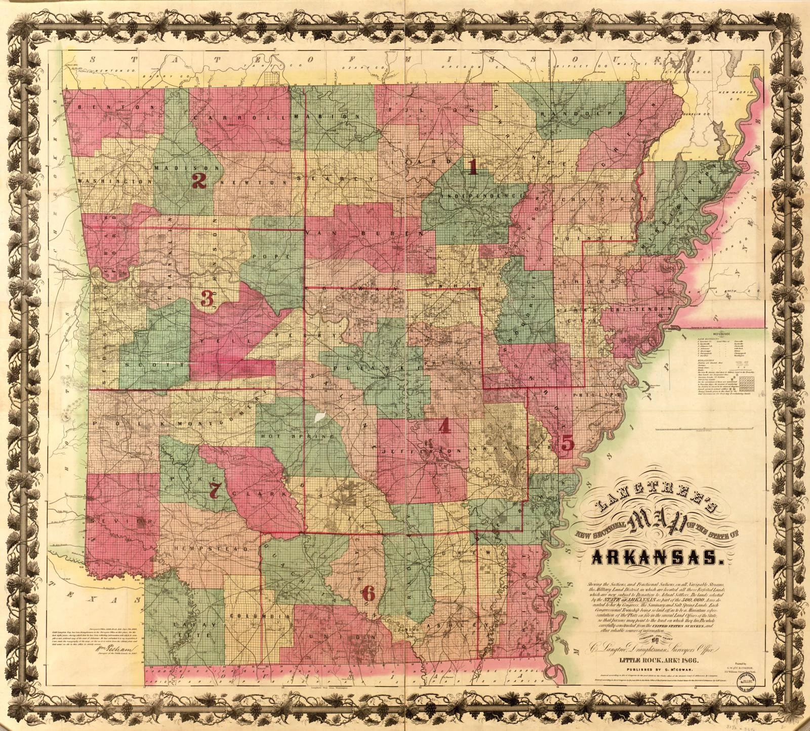
The Asher and University intersection belongs to a much older geography of movement. UA Little Rock’s historical reporting places the Southwest Trail here, connecting the area to routes of travel and exchange. This history also includes the forced removal of Choctaw and Chickasaw people, remembered today at the university’s Trail of Tears Park.
The automobile brought another network of connections. U.S. Highway 70 was known for a time as the Robert E. Lee Highway, named for the Confederate general. Federal highway history traces the wider Lee Highway through Little Rock and other Arkansas cities. That regional history is distinct from the particular street alignments and route numbers of Asher Avenue.
The business
of everyday life.
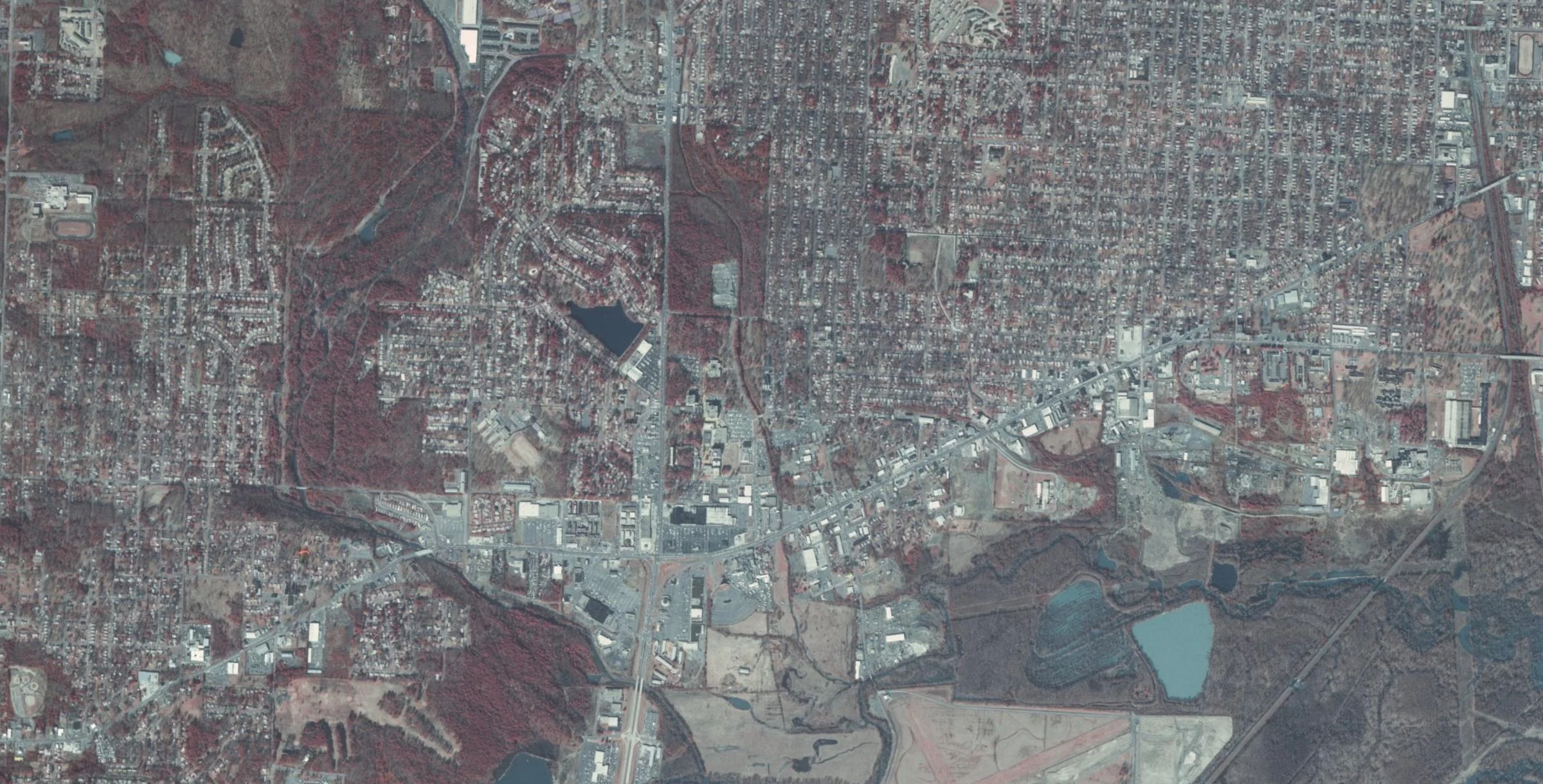
The corridor’s working history is tangible in Coleman Dairy. UA Little Rock records that its processing plant operated immediately south of campus, across Asher Avenue, until 2003. Production, distribution, useful buildings, and the businesses serving daily needs gave this landscape its practical character.
For Gemini, that history offers a way to read a place: through the work it supports and the people who make it function. Coleman’s story is part of the corridor’s history, separate from Gemini’s portfolio. Its lesson is the enduring relationship between an operating business and a workable setting.
Room for an
institution to grow.
In 1947, Raymond Rebsamen gave Little Rock Junior College 80 acres along Hayes Street, now University Avenue, for a permanent campus. Temporary facilities supported the transition; the college moved into its new home in 1949. The institution that became UA Little Rock grew alongside the surrounding commercial landscape.
Today, the university is a nearby institutional and economic anchor. Its presence is part of how we evaluate the area’s possibilities: services, places to work, hospitality, and the businesses that support an active neighborhood. These are opportunities to investigate through customer demand and site conditions. Our perspective is that of a local owner, independent of the university.
Rebsamen’s campus land gift.
The college moves to its new home.
Hayes links Highway 10 to Asher.
A corridor within
a connected city.
Little Rock’s postwar growth added another important connection. The city’s historical context report records that Hayes Street was built in phases between 1952 and 1955, linking Arkansas Highway 10 to Asher Avenue, identified there as State Highway 5. University Avenue became the connecting street between those routes.
These layers of infrastructure help explain the setting in which businesses and institutions developed. South of I-630 is Gemini’s present-day geographic focus. Our investment perspective begins with the connections already here: businesses, neighborhoods, roads, and the daily activity around them.
Productive property.
Practical ownership.
Our next chapter starts with existing businesses, useful property, and local operating knowledge. We are interested in industrial services, repair and maintenance, construction-related businesses, and spaces that support the trades. Small-bay commercial and flex space, adaptive reuse, and neighborhood-serving hospitality are areas to evaluate where sites and demand support them.
The work is specific: understand the customer, evaluate the business, match the use to the site, improve operations, and invest with a long view. These are future interests, pursued with disciplined evaluation. Local ownership can keep decisions close to the business and give the next generation of enterprise a stronger foundation.