Skip to content
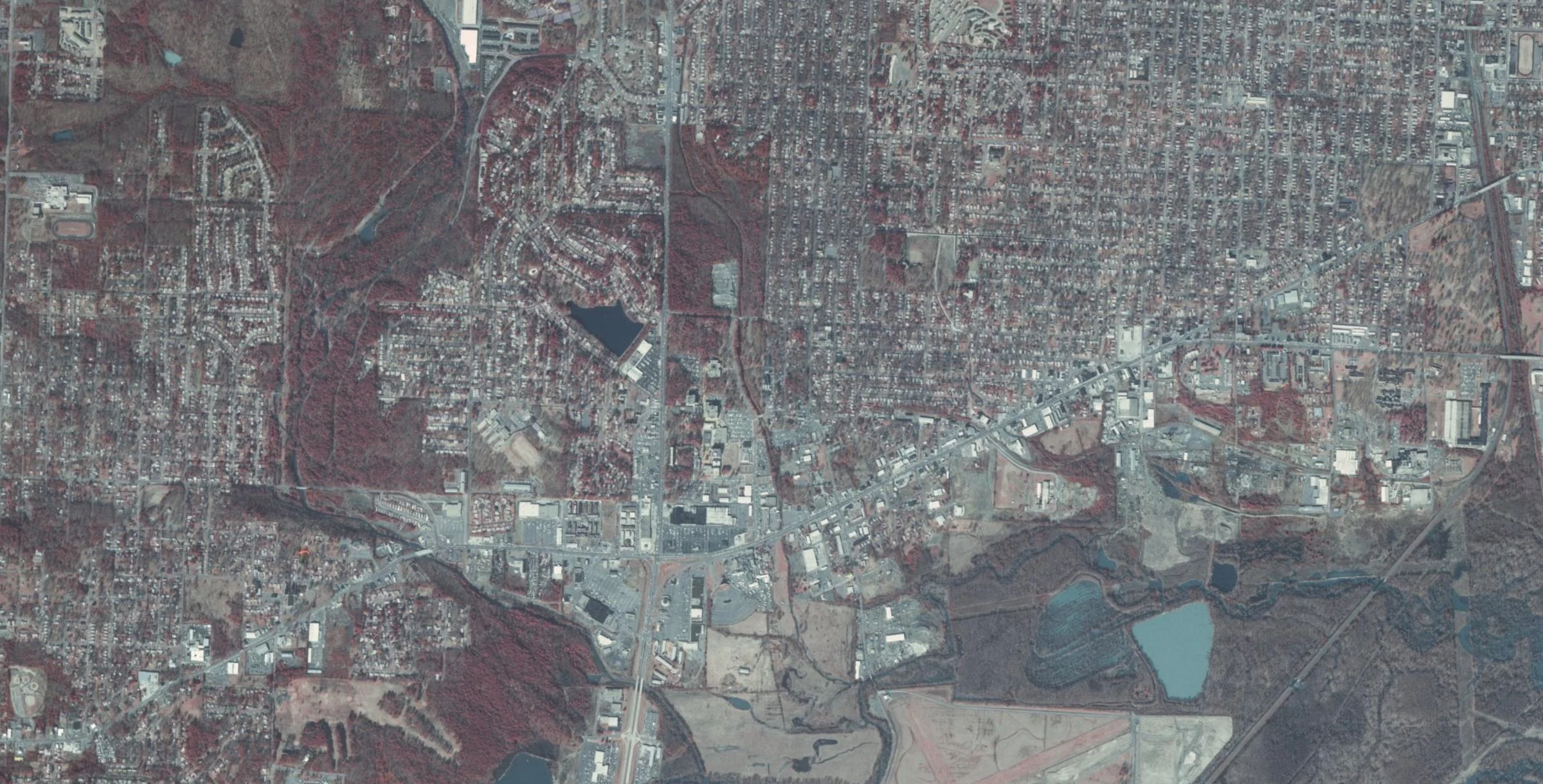
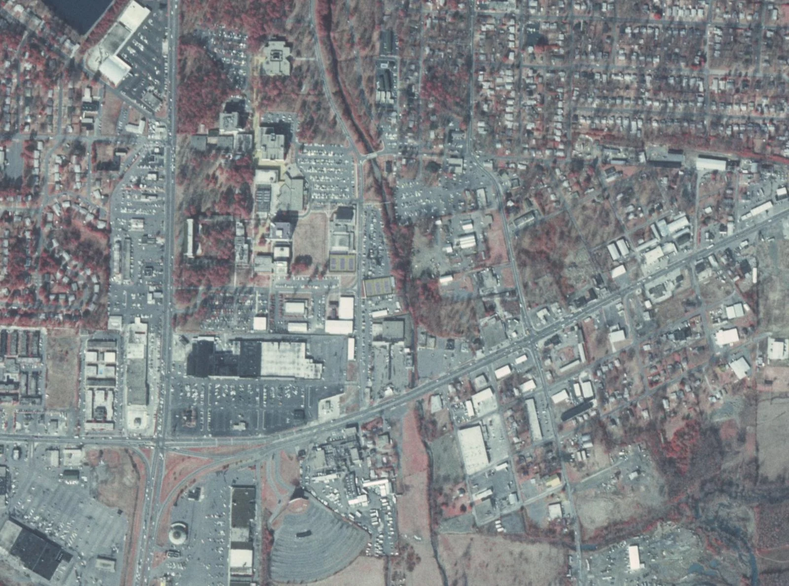
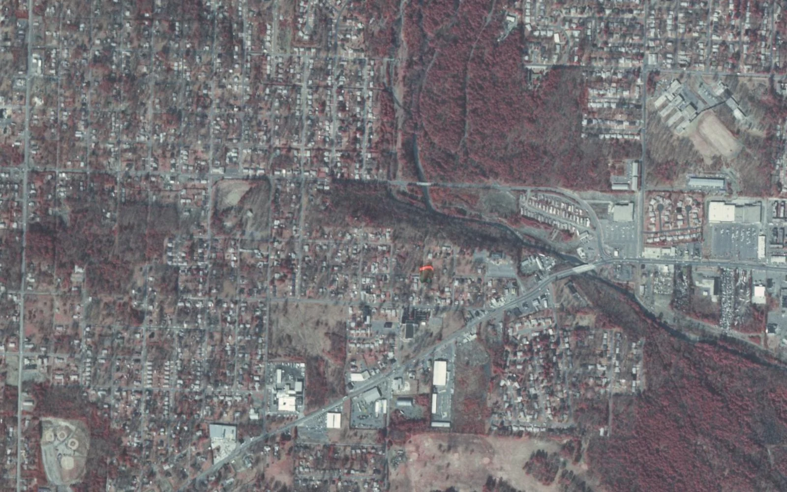
01 Asher–University · 198302 University Avenue · 198303 Asher–Colonel Glenn · 1983
Family Ownership. Local Power. Little Rock's premier investment and operating platform south of I-630
The Asher corridorA working history. An owner’s perspective.
Little Rock’s working landscape
Photographs & sources
We build economic power Gemini brings family ownership and operating discipline to the businesses and places that serve Little Rock’s working communities.
Our next chapter builds on that foundation: strengthening existing operations, evaluating acquisitions, and finding practical new uses for commercial property.
Discover the portfolio
Real businesses. Built through enterprise.
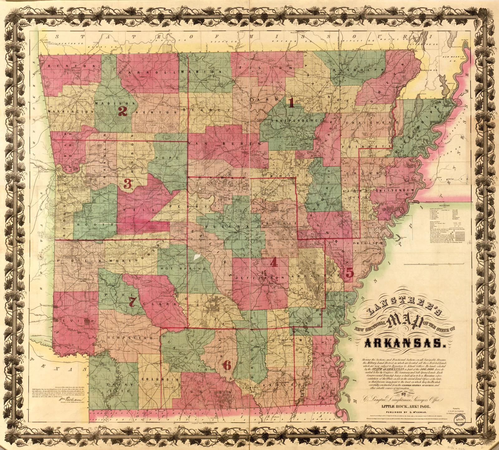
View the portfolio Arkansas, 1866 · Library of Congress
A working corridor. Roads, enterprise, and a university helped shape this part of Little Rock. We see a foundation for the next generation of work.
Discover the corridor
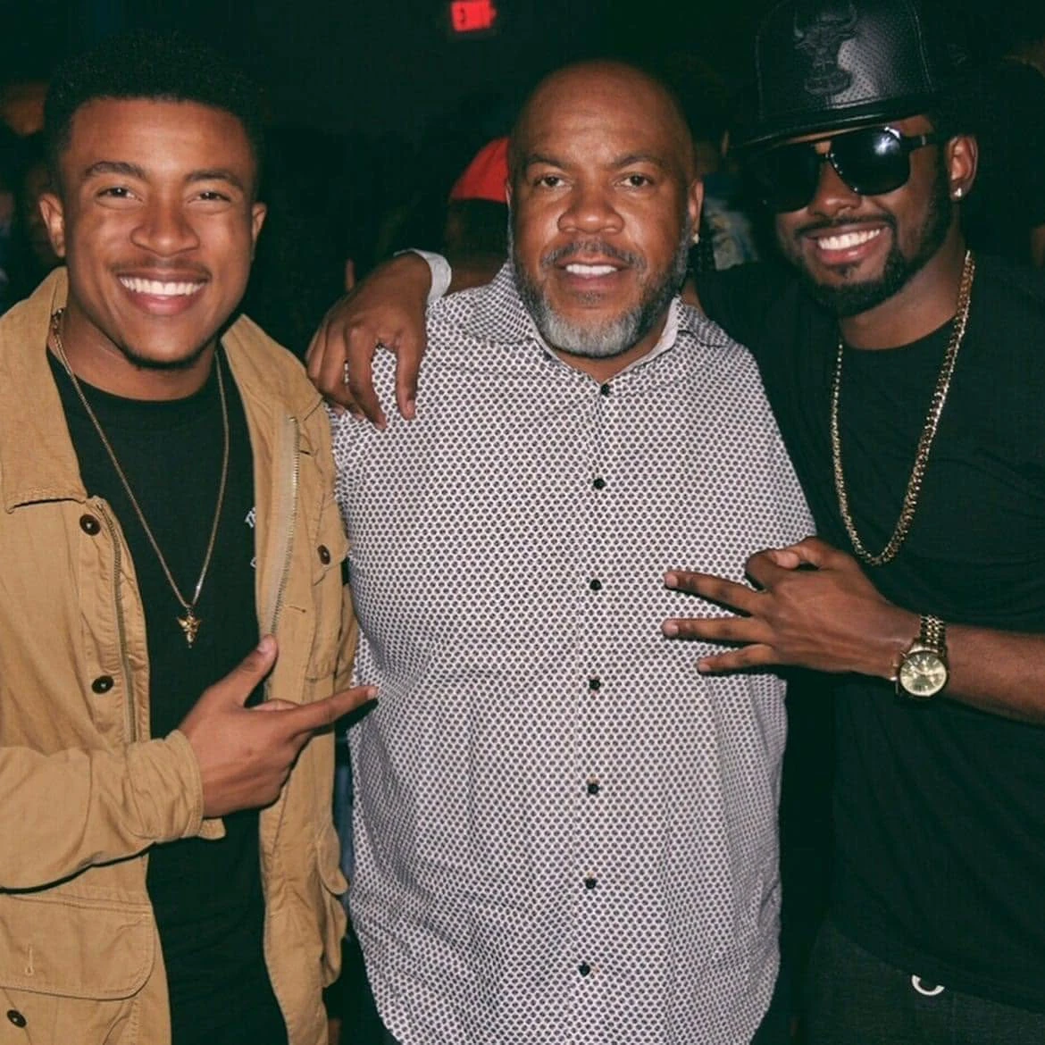
Built from Tracy L. Johnson
An entrepreneur, Army veteran, and the builder behind the family portfolio. His experience and relationships are the foundation for Gemini’s next chapter.
Meet the Chairman
Know the place. Businesses, property, and partnerships. A local owner’s perspective.
For conversations about our businesses, property, and partnerships, contact Zachary Johnson.
General inquiries
zachstjohnson@gmail.com
People. Places. Asher Avenue and the University Avenue area, Little Rock, 1983. Source record
University Avenue, the UA Little Rock campus area and the Asher Avenue working landscape, 1983. Source record
Asher Avenue / Colonel Glenn Road commercial corridor west of University Avenue, Little Rock, 1983. Source record
Langtree’s new sectional map of the state of Arkansas, 1866. Catalog record
The Chairman’s photograph and GMNI identity were provided by the owner. The portrait is displayed with a crop centered on Tracy L. Johnson.
Contemporary corridor views use public-domain NAIP imagery from USGS, USDA, and The National Map. Imagery source
The Club TABU logo is the venue-identifying asset shown by the Little Rock Convention & Visitors Bureau . Other brand treatments are typographic compositions.